


Unlock Mull’s Magic: Why the Right Map is Your Essential Island Companion
The Isle of Mull is a place of wild beauty and unforgettable adventures. From the colourful harbour town of Tobermory to the dramatic cliffs of the Ardmeanach Peninsula, and the tranquil shores of Iona, every corner of this Hebridean gem beckons exploration. But to truly immerse yourself in Mull’s diverse landscapes and uncover its hidden treasures, you need more than just a vague idea of where you’re going. You need a map.
While your smartphone is handy, it won’t always have signal in Mull’s more remote spots, and its battery certainly won’t last as long as a good old-fashioned paper map. A physical map offers unwavering reliability, allowing you to trace routes, discover viewpoints, and feel a deeper connection to the island. It’s not just about navigation; it’s about planning, discovering, and ensuring your Mull adventure is as smooth and enriching as possible.
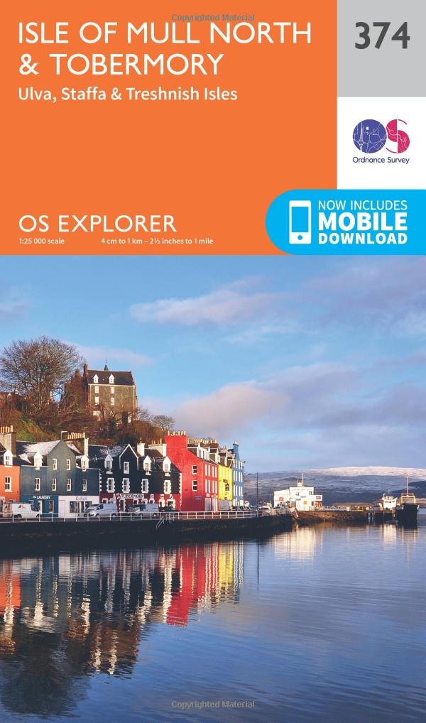
Navigating the West and Tobermory: OS Explorer Map 374
For those eager to delve into the vibrant hub of Tobermory, explore the enchanting island of Ulva, or venture further afield to the captivating Staffa and Treshnish Isles, Ordnance Survey OS Explorer Map 374 is your indispensable guide. This highly detailed map is perfect for walkers, cyclists, and keen explorers, showing every footpath, contour, and point of interest. It’s designed to help you plan ambitious hikes or simply discover charming coastal paths around the island’s northern reaches.
Glimpse white-tailed sea eagles skimming the waves off Tobermory and wander one of Scotland’s most beautiful and tranquil beaches at Calgary Bay. Explore the Isle of Mull and nearby Ulva, Staffa – home to the famous Fingal’s Cave – and the seabird haven of the Treshnish Isles.
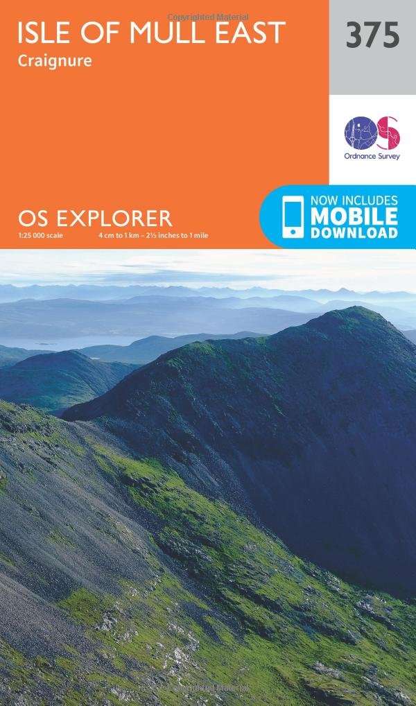
Exploring the East and Craignure: OS Explorer Map 375
If your Mull adventure focuses on the eastern side of the island, including the ferry port of Craignure and the iconic Duart Castle, then Ordnance Survey OS Explorer Map 375 is a must-have. This map complements OS Explorer Map 374, covering the rugged hills and picturesque glens of Mull’s eastern half. With its precise detail, you can confidently plan walks, locate historical sites, and navigate the scenic single-track roads that wind through this stunning region. For comprehensive island exploration, owning both OS Explorer maps is highly recommended!
Adventure awaits on the Isle of Mull, where the iconic Duart Castle towers above waves skimmed by white-tailed sea eagles. Spot otters on the shores of stunning Loch Na Keal, one of Scotland’s most scenic areas, and explore the distinctive lava landscape of the Ardmaneach peninsula.
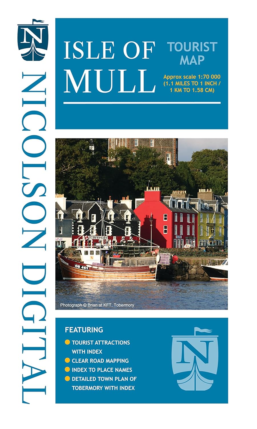
The All-Rounder for Sightseeing: Isle of Mull Tourist Map
Not every trip to Mull is about tackling Munros or detailed coastal hikes. If you’re primarily exploring by car, visiting key attractions, and enjoying the island’s main routes, the Isle of Mull Tourist Map offers a clear and user-friendly overview. This map focuses on main roads, popular towns, and major points of interest, making it ideal for general touring and day trips. It provides an excellent visual aid for planning your scenic drives and ensuring you don’t miss any of Mull’s iconic sights.
Nicolson Digital Tourist Maps are ideal for planning your visit to some of the most beautiful areas of Scotland. Tourist attractions and places are clearly marked. Topography is shown through layer tints with major peaks highlighted. Detailed street maps included for main towns within the area shown. A must for every visitor!
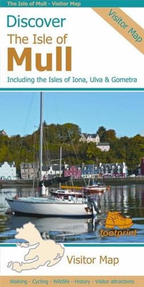
Beyond Mull: Exploring the Neighbouring Isles (Footprint Maps)
Mull is often a stepping stone to other incredible Hebridean islands. The Discover the Isle of Mull: Including the Isles of Iona, Ulva & Gometra (Footprint Maps) is designed for those who want to broaden their island hopping. This map provides a fantastic overview of Mull alongside its smaller, but equally captivating, neighbours. If your itinerary includes a pilgrimage to the peaceful Isle of Iona, or a visit to the wild beauty of Ulva and Gometra, this map offers the consolidated coverage you need.
Visitor map of Mull, including Iona and Gometra, on one sheet. New maps based on OS data with loads of additional information. 1:65,000. In the Discover series from Footprint maps. The map features walking and cycling routes, wildlife and visitor attractions and where to eat, sleep and shop. Mull's treasures include secluded beaches, wild mountains, magnificent eagles and historic castles.
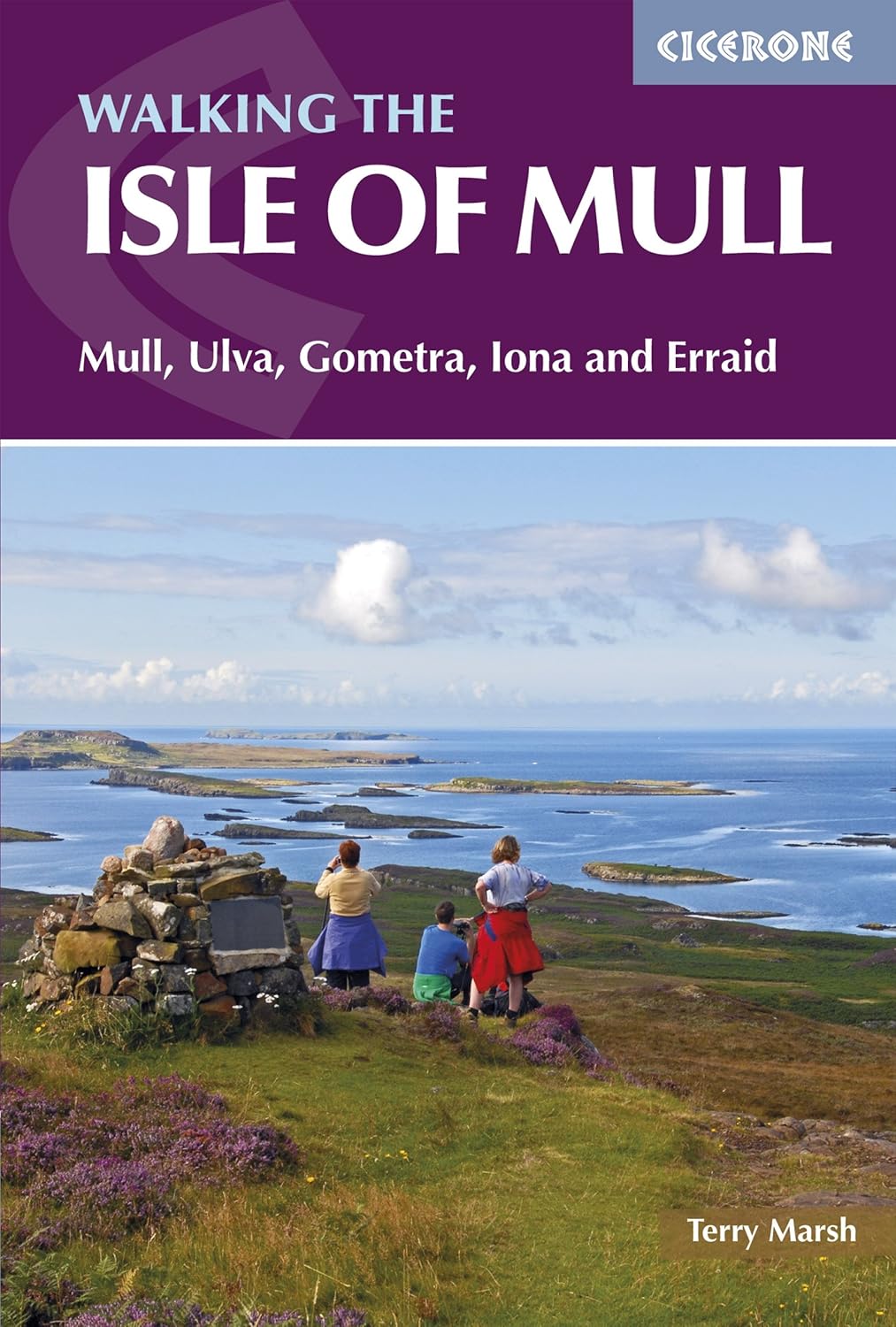
For the Dedicated Walker: Walking The Isle of Mull (47 Walks)
If walking is the heart of your Mull experience, then “Walking The Isle of Mull: 47 Walks on Mull, Ulva, Gometra, Iona and Erraid (British Mountains)” is more than just a map; it’s an essential walking companion. This comprehensive guide features 47 detailed routes across Mull and its surrounding islands, each with integrated maps and clear descriptions. It takes the guesswork out of planning your hikes, providing everything from gentle strolls to challenging ascents, ensuring you make the most of Mull’s incredible walking opportunities.
Guidebook containing 47 day walks on Mull and the neighbouring islands of Ulva, Gometra, Iona and Erraid. From short circuits and linear coastal and glen walks to demanding mountain routes, there is something for walkers of all levels of fitness and experience.
Your Mull Adventure Starts with a Map!
However you plan to explore the magnificent Isle of Mull, having the right map in hand will elevate your experience. It provides not just direction, but confidence, safety, and the joy of true discovery. Don’t leave your island adventure to chance – equip yourself with the perfect guide.
Choose your ideal Isle of Mull map on Amazon today and start planning your unforgettable Hebridean escape!
