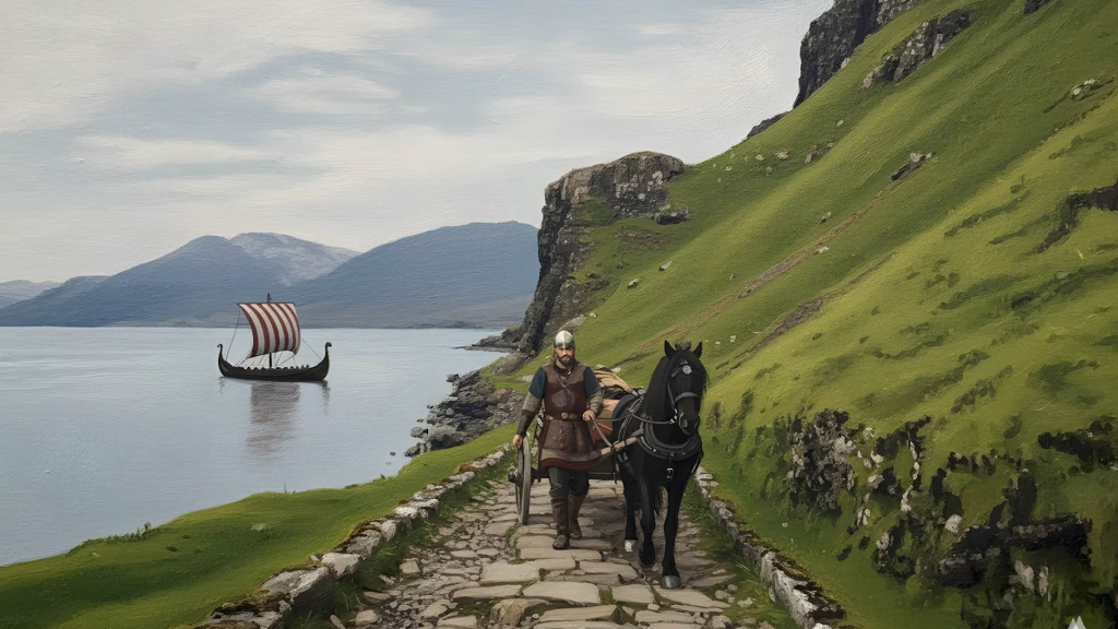
The Isle of Mull and its surrounding islets preserve a rich legacy of Norse settlement through their place names. From promontories and farmsteads to waterfalls and grazing isles, these names reflect how Norse settlers interpreted the landscape, often blending Old Norse with Gaelic and later English terms. What follows is a detailed breakdown of Norse-derived names across Mull and Iona, each explained with its original meaning and linguistic origin.
Isle of Mull (Muile)
Derived from a term meaning “promontory,” Mull’s name likely refers to its dramatic topography—specifically a crag or projecting ridge between two valleys. This reflects the island’s mountainous interior and rugged coastal contours, which would have stood out to Norse navigators charting the Hebrides.
Dervaig
Interpreted as “good inlet,” this name likely combines Norse and Gaelic elements to describe the sheltered bay at the head of Loch a’ Chumhainn. The term suggests a safe anchorage or landing site, valued by both Norse settlers and later Gaelic communities.
Eorabus
From Old Norse Eyrar-bolstadr, meaning “gravel-beach farm.” Eyrar refers to a gravelly shore, while bolstadr denotes a farmstead. The name indicates a coastal agricultural site established on a shingle beach, typical of Norse settlement patterns in the Hebrides.
Carsaig
“Copse bay” combines Norse elements for wooded areas (kǫrr) and bay (vík). The name likely describes a sheltered inlet fringed with natural woodland, matching the steep, forested cliffs and sea caves found at Carsaig on Mull’s south coast.
Fishnish
“Headland or promontory,” with the suffix -nish derived from Old Norse nes. This term was commonly used by Norse mariners to mark protruding coastal features. Fishnish, now a ferry terminal, sits on a jutting point along the Sound of Mull.
Mishnish
Also from nes, meaning “headland.” Mishnish refers to the elevated coastal area north of Tobermory, including Mishnish Lochs and Mishnish House. The name marks a prominent ridge or projection visible from the sea.
Quinish
Another nes derivative, “headland or promontory.” Quinish lies on the northwestern tip of Mull, with steep cliffs and exposed terrain. The name likely served as a navigational reference for Norse ships rounding the coast.
Treshnish
“Headland or promontory,” again from nes. Treshnish includes both the mainland headland and the offshore Treshnish Isles. The name may have originally applied to the mainland projection before being extended to the islets.
Eas Fors (Fors element)
“Waterfall river,” combining the Norse Forsá (a river with waterfalls) with the Gaelic Eas and English Falls. The name is tautological—each element means “waterfall”—but reflects the dramatic cascade where the river drops directly into the sea near Ulva Ferry.

Torosay
A hybrid name: tor (Gaelic for conical hill) + -ay (Norse øy, meaning island). Though not an island, the suffix reflects Norse naming conventions. Torosay Castle sits near a prominent hill overlooking the Sound of Mull, possibly viewed as an “island” of land amid surrounding water and marsh.
Ulva (Ulbha)
From Old Norse Ulv-øy or Ulfrsey, meaning “wolf island” or “Ulfr’s island.” Ulv refers to wolves, which may have once roamed the area, or Ulfr, a Norse personal name. The island’s wooded terrain and isolation made it a fitting candidate for such a name.
Ormaig
“Bay of the worm,” from Old Norse ormr (snake or serpent) and vík (bay). The term ormr could refer to eels or serpentine currents. Ormaig lies near Lochbuie, where tidal flows and winding inlets may have inspired the name.
Soa (Soay)
“Sheep island,” from Old Norse Sauðey. A small islet near Iona, Soa was likely used for seasonal grazing. The name reflects Norse agricultural practices, where remote islets were ideal for keeping livestock safe from predators.
Calva (Eilean Chalbha)
“Calf island,” likely named for its position beside the larger “mother” island of Iona. This naming convention, mother and calf, is common in Norse coastal geography, where smaller satellite islets were seen as offspring of the main landmass.
Geodha
“Narrow creek or cove,” from Old Norse gjó. This term is used across Mull and Iona to describe steep-sided inlets carved by erosion. Geodhas are common features in the Hebrides, and the Norse term survives in Gaelic and Scots usage today.

